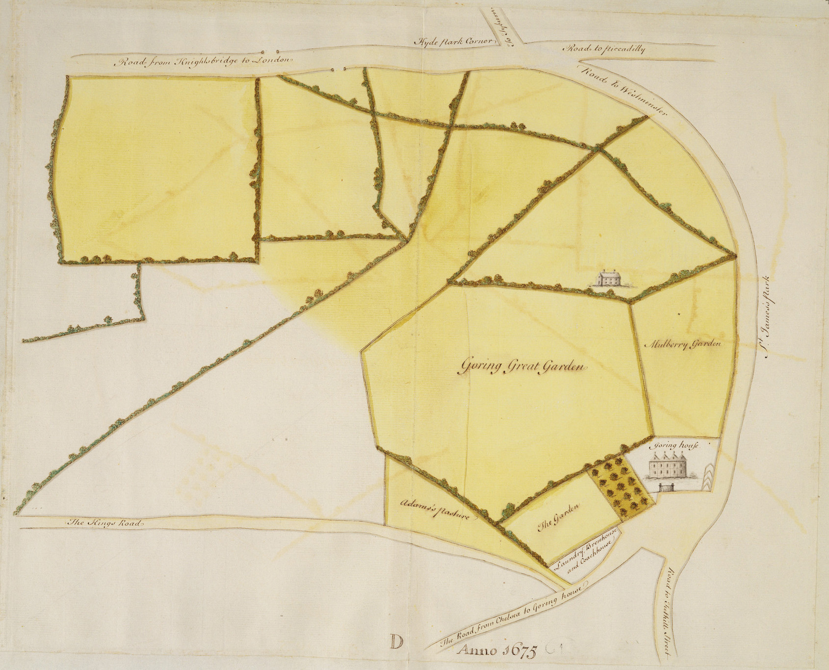
Goring House Estate and Mulberry Garden
by a draftsman in the Office of Works: London
1675
Royal Collection Trust RL 18910
Map showing land belonging to Goring House, enclosed by St James's Park, the King's Road, and Hyde Park Corner. From a volume of plans and documents copied by hand ca. 1762–1800 from records then in the Surveyor Generals Office.
Royal Collection Trust / © Her Majesty Queen Elizabeth II 2022
The Royal Collection Trust permits non-commercial use of this image by the Grub Street Project for academic/scholarly publication and research. No copyright or proprietary right is conveyed with the use of the image, and it may not be passed on for third-party use. In certain other jurisdictions this image is considered to be in the public domain.